Welcome to the web site of
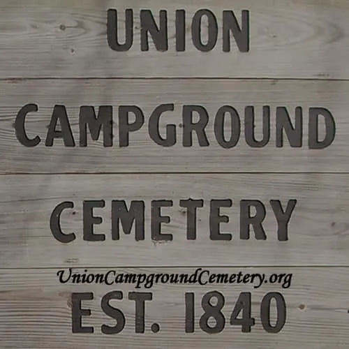
"Union Campground Cemetery Association, Inc."
This site is being put up in memory of our ancestors.
We hope you enjoy our site and the information provided.
Below are directions to the Union Campground Cemetery. If you decide to visit, please make sure you respect the property and others that may be visiting the area.
~ Union Campground Cemetery GPS Coordinates ~
N 37° 18.595′
W 093° 11.531′
Directions
The Union Campground Cemetery is located 500 ft north of Valley Water Mill Road at the northeast corner of U.S. Highway 65 and Valley Water Mill Road. If you follow Highway 65 North from Springfield and go past (under) I-44, you need to take the first exit which is Valley Water Mill Road. You need to turn right and turn around, then you can park on the northside of Valley Water Mill Road headed west. Walk west down the ditch on the northside of Valley Water Mill Road. You will come to a cable across the path. You then follow the path down the hill (North) and up to the Southwest corner to enter the cemetery.
There is a geocache location at Union Campground Cemetery. Below are the GPS coordinates to its location!
N 37° 15.801
W 093° 13.443